
Best Hiking Places
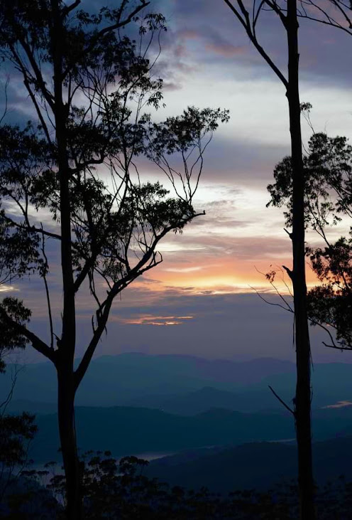
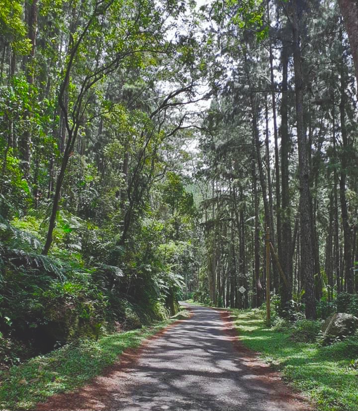
Sri Lanka is a small and beautiful island made up of many mountains. Of these, there are very few mountains that can be climbed to the top. We are right in saying that not even thirty to forty percent of the total mountains can be reached. Hanthana, Knuckles, Alagalla, Kirigalpotta, Danigala, Batalegala, Lakegala and Kabaragala are some of the mountains that can be climbed. Words cannot describe the sight we see as we climb up a mountain. That's so beautiful out there. Sometimes when we climb a mountain, we see other nearby mountains. At that time we think, "I wish I could have climbed that mountain."
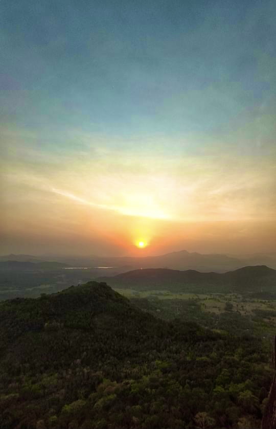
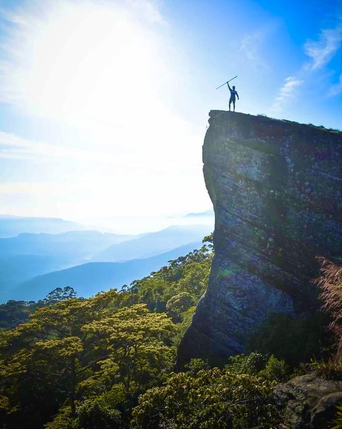
If you love mountaineering, Sri Lanka is a great place to be. Sri Lanka is a unique mountaineering destination, it is the perfect landmark for all kinds of experiences, from easy walks to more intense trekking. Below are the best mountaineering and trekking routes in Sri Lanka and choose the one you like the most.
List of mountain hiking in Sri Lanka
| Rank | Name | Height | Districts | Province |
|---|---|---|---|---|
| 1 | Pidurutalagala | 2,524m (8,281 ft) | Nuwara Eliya | Central Province |
| 2 | Kirigalpotta | 2,395m (7,858 ft) | Nuwara Eliya | Central Province |
| 3 | Totapolakanda | 2,357m (7,733 ft) | Nuwara Eliya | Central Province |
| 4 | Kudahagala | 2,320m (7,612 ft) | Nuwara Eliya | Central Province |
| 5 | Adam's Peak | 2,243m (7,359 ft) | Ratnapura | Sabaragamuwa Province |
| 6 | Kikilimana | 2,240m (7,349 ft) | Nuwara Eliya | Central Province |
| 7 | Great Western Mountain | 2,216m (7,270 ft) | Nuwara Eliya | Central Province |
| 8 | Hakgala | 2,170m (7,119 ft) | Nuwara Eliya | Central Province |
| 9 | Conical Hill | 2,166m (7,106 ft) | Nuwara Eliya | Central Province |
| 10 | Mahakudagala | 2,100m (6,890 ft) | Nuwara Eliya | Central Province |
| 11 | Chariot Path | 2100m (6889ft) | Nuwara Eliya | Central Province |
| 12 | One Tree Hill | 2,100m (6,890 ft) | Nuwara Eliya | Central Province |
| 13 | Waterfall Point | 2,074m (6,804 ft) | Nuwara Eliya | Central Province |
| 14 | Namunukula | 2,036m (6,680 ft) | Badulla | Uva Province |
| 15 | Madulsima | 2,035m (6676ft) | Badulla | Uva Province |
| 16 | Gonmollikanda | 2,034m (6,673 ft) | Ratnapura | Sabaragamuwa Province |
| 17 | Gawarawila Plains | 1,980m (6,496ft) | Kandy | Central Province |
| 18 | Knuckles | 1,863m (6,112 ft) | Kandy | Central Province |
| 19 | Haritha Kanda | 1800m (5905ft) | Nuwara Eliya | Central Province |
| 20 | Pluckers Huts | 1700m (5577ft) | Ella | Uva Province |
| 21 | Bakers Bend | 1700m (5577ft) | Belihuloya | Sabaragamuwa Province |
| 22 | Idalgashinna | 1,615m (5298ft) | Badulla | Uva Province |
| 23 | Saptha Kanya | 1569m (5147ft) | Nuwara Eliya | Central Province |
| 24 | Kabaragala Rock | 1506m (4940ft) | Nuwara Eliya | Central Province |
| 25 | Narangala Mountain | 1500m (4921ft) | Badulla | Uva Province |
| 26 | Kondagala | 1450m (4757ft) | Kandy | Central Province |
| 27 | Lipton's Seat | 1431m (4694ft) | Haputale | Uva Province |
| 28 | Pilkington Point | 1400m (4593ft) | Bandarawela | Uva Province |
| 29 | Hurihela Mountain | 1400m (4593ft) | Badulla | Uva Province |
| 30 | Gongala | 1,358m (4,455 ft) | Ratnapura | Sabaragamuwa Province |
| 31 | Hawagala | 1330m (4363ft) | Belihuloya | Sabaragamuwa Province |
| 32 | Riverston | 1265m (4150ft) | Matale | Central Province |
| 33 | Pitawala Pathana | 1265m (4150ft) | Matale | Central Province |
| 34 | Hanthana Mountain | 1240m (4068ft) | Kandy | Central Province |
| 35 | Yahangala | 1,220m (4002ft) | Matale | Central Province |
| 36 | Kurullangala | 1200m (3937ft) | Ella | Uva Province |
| 37 | Kallebokka | 1,175m (3854ft) | Matale | Central Province |
| 38 | Little Adam's Peak | 1141m (3743ft) | Ella | Uva Province |
| 39 | Alagalla | 1140m (3740ft) | Kandy | Central Province |
| 40 | Maragala Kanda | 1111m (3645ft) | Monaragala | Uva Province |
| 41 | Manigala | 1,080m (3543ft) | Matale | Central Province |
| 42 | Ella Rock | 1041m (3415ft) | Ella | Uva Province |
| 43 | Hulangala | 1025m (3362ft) | Matale | Central Province |
| 44 | Bambaragala Pathana | 967m (3172ft) | Badulla | Uva Province |
| 45 | Suriyakanda | 800m (2624ft) | Rakwana | Sabaragamuwa Province |
| 46 | Bible Rock | 798m (2,618 ft) | Kegalle | Sabaragamuwa Province |
| 47 | Arangala | 792m (2598ft) | Matale | Central Province |
| 48 | Pettigala | 760m (2,493 ft) | Kandy | Central Province |
| 49 | Bintenna | 723m (2,372 ft) | Badulla | Uva Province |
| 50 | Kukulugala | 704m (2,310 ft) | Ratnapura | Sabaragamuwa Province |
| 51 | Kokagala | 687m (2,254 ft) | Ampara | Eastern Province |
| 52 | Hinidumakanda | 661m (2,169 ft) | Kalutara | Western Province |
| 53 | Walimbehela | 658m (2,159 ft) | Ampara | Eastern Province |
| 54 | Nuwaragala | 658m (2158ft) | Ampara | Eastern Province |
| 55 | Rosa Thiruwana Kanda | 650m (2132ft) | Dambulla | North Central Province |
| 56 | Dolukanda | 600m (1968ft) | Kurunegala | North Western Province |
| 57 | Wewathenna | 593m (1945ft) | Kandy | Central Province |
| 58 | Ritigala | 572m (1,877 ft) | Anuradhapura | North Central Province |
| 59 | Govinda Hela | 558m (1,831 ft) | Monaragala | Uva Province |
| 60 | Dimbulagala | 534m (1,752 ft) | Polonnaruwa | North Central Province |
| 61 | Kudumbigala | 500m (1640ft) | Pottuvil | Eastern Province |
| 62 | Uthuwankanda | 430m (1410ft) | Kegalle | Sabaragamuwa Province |
| 63 | Kataragama Peak | 424m (1,391 ft) | Monaragala | Uva Province |
| 64 | Kandurukanda | 292m (958 ft) | Polonnaruwa | North Central Province |
Hiking in Ella Sri Lanka
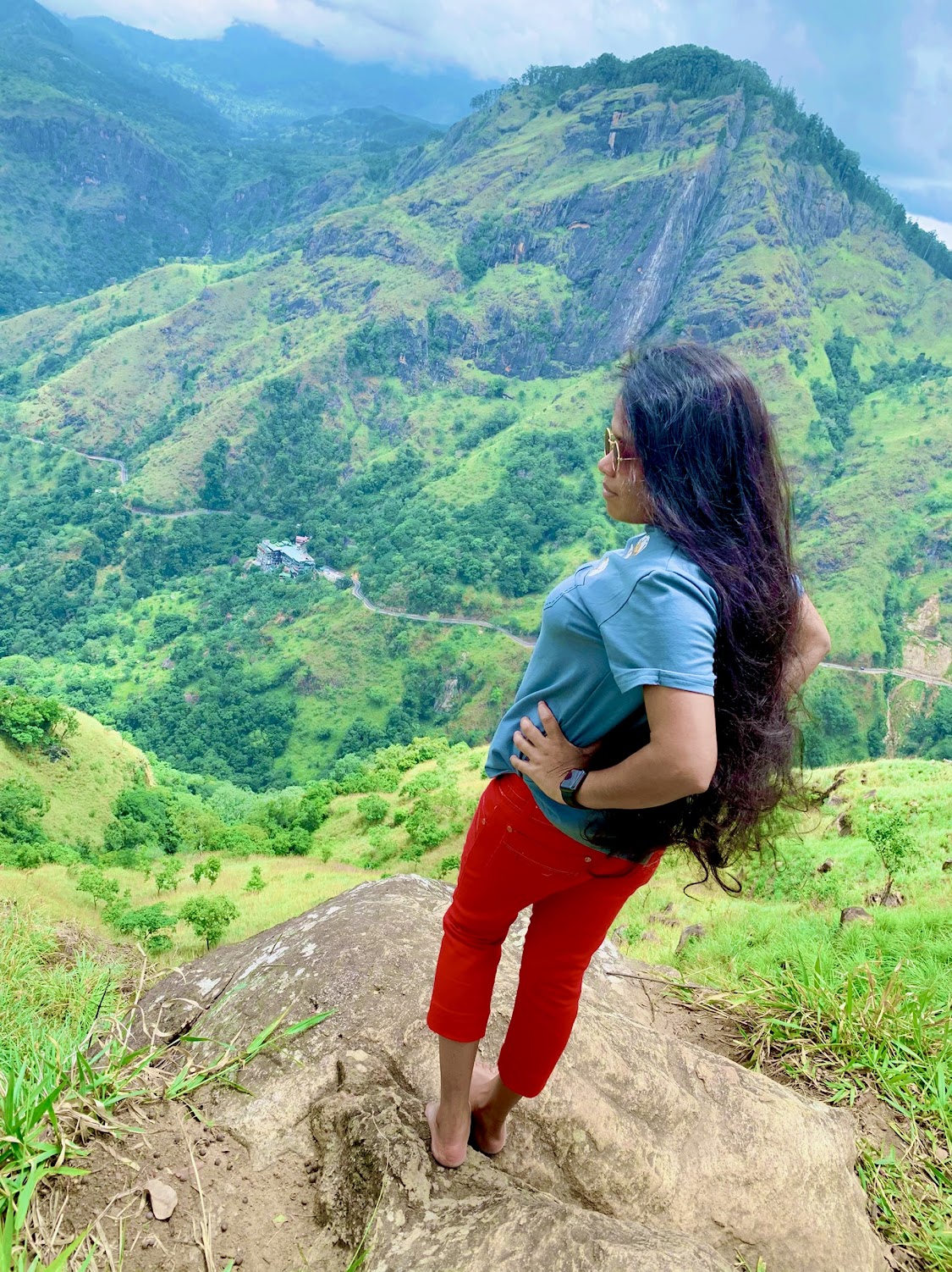
Ella is a town located in the Badulla District of the Uva Province. Ella is a small green village surrounded by green hills in the Greenwire region. The surrounding hills are rich in tea plantations, paddy fields, and vegetable gardens. Those views create beautiful views for the eyes. Namunukula and Madulsima Mountains are the most suitable for those who like to climb mountains above 2000 meters. Ella is a popular destination among climbers and is surrounded by beautiful mountain ranges such as- Ella Rock: 10km / Between 3-5 hours - Ella to Ella Rock
- Little Adam's Peak: 5.6 km / 15 min - Ella to Little Adam's Peak
- Kurullangala: 13.5 km / 23 min - Ella to Kurullangala
- Pluckers Huts: 17.6 km / 42 min - Ella to Pluckers Huts
- Pilkington Point: 31.1 km / 1 hr 17 min - Ella to Pilkington Point
- Narangala Mountain: 28.0 km / 1 hr - Ella to Narangala Mountain
- Namunukula: 37.7 km / 1 hr 30 min - Ella to Namunukula
- Madulsima: 51.6 km / 1 hr 58 min - Ella to Madulsima
- Idalgashinna: 29.5 km / 1 hr 8 min - Ella to Idalgashinna
- Lipton's Seat: 27.2 km / 1 hr 23 min - Ella to Lipton's Seat
- Hurihela Mountain: 25 km / 45 min - Ella to Hurihela Mountain
- Bambaragala Pathana: 19.1 km / 44 min - Ella to Bambaragala Pathana
Hiking and Trekking in Sri Lanka

Ella Rock - Ella
Ella Rock is more popular among foreigners than natives. Ella Rock is located about 8 km from the center of the Ella town, above the village of Ella. Ella Rock is very popular among the climbers and it is a mountain slope located at an altitude of 1,041 m (3,415 ft). The area is slightly humid and has a moderate temperature. In the morning the sunshine is fine and in the afternoon it is raining. Read More
Little Adam's Peak - Ella
Little Adam's Peak is another 1141 m high peak located close to the town of Ella. It is named as Little Adam's Peak because it has a similar shape to the Sri Pada / Adam's Peak. The height of Sri Pada / Adam's Peak. Is 2243 meters and the height of Little Adam's Peak is about half that. According to history, King Ravana used to worship the sun daily at this place. The uniqueness of this mountain climb Read More

Pluckers Huts - Uduwara
Pluckers Huts is one of the estates belonging to the Malwatta Plantation Company and is spread over 270 acres. Situated at an elevation of 1700 m above sea level, the estate is situated amidst the three towns of Hali-ela, Attampitiya and Bandarawela. This estate is known as the "Neluwa Estate". The hut, originally known as Pluckers Huts, was originally built to relax the plantation's leaf breakers. Also known as "360 View Point". Read More
Lipton's Seat - Haputale
Lipton's Seat is a narrow peak where three valleys meet. Lipton's Tea Estate is located on the hill between Dambethenna, Bandarawela and Poonagala in Haputale. This place was discovered by Thomas J. Lipton, a Scotsman who introduced the Lipton type of tea. The specialty of this place is that you can see 5 provinces simultaneously from this place. Sabaragamuwa Province, Central Province, Uva Province, Eastern Province, Southern Province. But it has to have luck. Read More

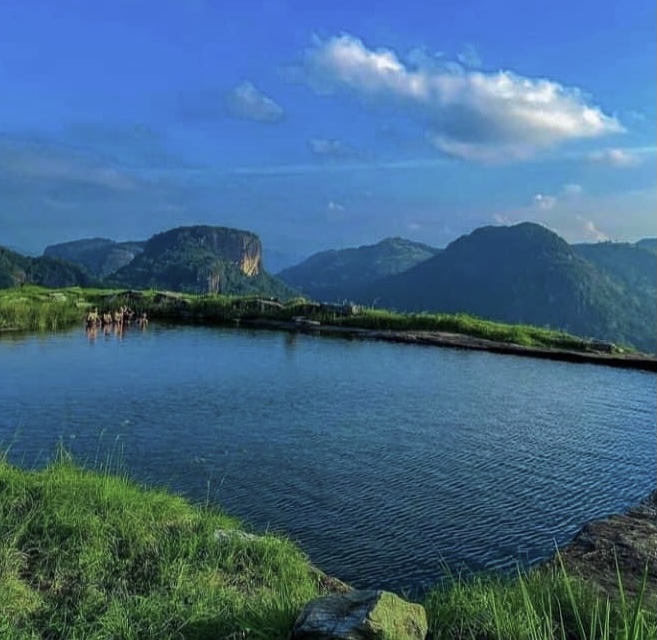
Pitamaruwa Mini Worlds End - Madulsima
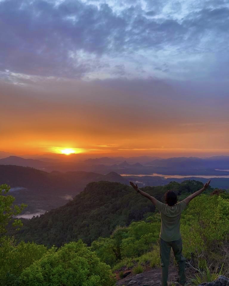
The most popular Madulsima Mini World's End sword top for camping above the clouds. It is a village in the Uva Province of Sri Lanka. The highest part of the mountain belongs to the Robbery Estate. It is located at 2300-3400 feet above sea level. The highlight of Madulsima World's End is the view of a large plain from the foot of the mountain to the east coast. Read More

Narangala Mountain - Badulla
Narangala mountain is another popular mountain among climbers. It is situated 19.7 km away from the Badulla district in the Uva Province. Narangala Mountain is very popular among the climbers and it rises to over 1500 m (1527 m). There are two entrances to Narangala mountain, Keenakale side and Tangamale Devalaya side. The Keenakale side is generally very popular with climbers. Read More

Pilkington Point - Bandarawela
Pilkington Point is another scenic spot located in Poonagala Rd, Bandarawela, Uva Province, Sri Lanka. Also called poonagala view point. Pilkinton Point (poonagala view point) in the Poonagala Tea Estate is located 1400 meters above sea level and was named in 1898 by Sir George Pilkinton, the first manager of the Poonagala Company. You can reach Poonagala town after traveling about 22 km on the Bandarawela Poonagala road. Read More

Saptha Kanya (Seven Virgins Mountain) - Maskeliya
If you love mountaineering, this is another place to go. The Saptha Kanya (Seven Virgins Mountain) in the village of Maskeliya in Sri Lanka is a very beautiful place.There is another story to be told about the Saptha Kanya (Seven Virgins Mountain). The biggest plane crash in Sri Lanka took place at this place. Read More

Horton Plains National Park - Ohiya
Horton Plains National Park is a protected area in the central highlands of Sri Lanka, covered by montane grasslands and cloud forests, located at an altitude of 2,100 m above sea level, covering an area of 3,169 hectares, giving it an astonishing elevation between the second and third highest mountain ranges in the mountains. The Horton Plains are home to a large number of endemic flora and fauna and is a UNESCO World Heritage Site. The Horton Plains are one of the most important watersheds of all the major rivers in Sri Lanka. Read More

Hurihela mountain - Hali Ela
"Hurihela mountain" is a great place for a long hike. Hurihela mountain is a very different mountain. When we are told that it is a mountain, we are reminded of the idea of climbing from the foot of a mountain to the top of the hill. But this mountain is such a difficult one. You can go to the bottom of the mountain in a vehicle without any difficulty. After that we have to walk along the mountain. Read More
Govinda Hela (westminster abbey) - Monaragala
Located in Siyambalanduwa, on the border of the Ampara District in the Eastern Province of Sri Lanka, at approximately 500 m above sea level, the "Westminster Abbey" or Govinda Hela (westminster abbey) has long been known as a natural sanctuary for protection from enemies from ancient times. There are also a number of legends and legends associated with the rock Read More

Yahangala - Baddamulla
Yahangala is located in the Udailuka Grama Sevaka Division of a beautiful village called Kalugala. As part of the Knuckles Reserve, the original owner of this yahangala is the Forest Department. A wonderful place full of beauty that belongs to the Knuckles Mountains. This is called Yahangala as it is situated like a bed. Yahangala is located southeast of Knuckles. Read More
Kudumbigala Monastery - Arugam Bay
Situated on a beautiful rock in the middle of a very quiet natural reserve about 22KM from Yala Kumana Sanctuaries in the Eastern Province and about 22 km from Pottuvil, Ampara, this is a place of worship where the monks meditate. It is a once in a lifetime must visit place and if you go there do not forget to take alms or dry food and other necessities to the monks who live Read More

Manigala - Knuckles Mountain Range
Manigala is a popular hill station located in the Knuckles Range. The Manigala Climb Road runs from the Knuckles Conservation Center to Illukkumbura through mountains, plains and parks. The Managala Range in the Dumbara or Knuckles Range in the Kandy and Matale Districts is an ecosystem with high biodiversity. The Dumbara Range in Manigala is called Read More

Pidurutalagala - Nuwara Eliya
Mount Pidurutalagala, the highest mountain in Sri Lanka, is located at an altitude of 2524 m above sea level and is 12.3 km from the Nuwara Eliya District. Most of the day is covered in fog. Pidurutalagala hill is a horizontal rocky plain. Several endemic plant and animal species are found in this mountainous forest. What is special about this place is that it has a radar system of the security forces controlled by the Sri Lanka Air Force. Read More

Idalgashinna - Badulla
Idalgashinna mountain Range is located in the Namunukula mountain Range, in Haputale at an elevation of 1615 m above sea level. This mountain range is located in the Badulla District of the Uva Province. Mountaineering, camping, sunrise and sunset are some of the most sought after mountaineers. Idalgashinna Railway Station is another popular tourist attraction located here. Read More

Pitawala Pathana - Matale
In the past, the Westerners who ruled Ceylon called this area "re western" due to the fact that it had a climate similar to that of their countries, but today it is known as Riverstone and is a popular tourist destination. This area belongs to the Knuckles Reserve and is located at an altitude of 1265m above sea level. The climate of Riverstone is similar to that of Horton Plains. Read More

Kallebokka 360 viewpoint - Matale
Kallebokka 360 Upper Division View Point is the view point of the largest tea estate in Sri Lanka. Located on the border of Matale and Kandy districts. This mountain top is a very cool beautiful place. Arriving at the top of the hill on a clear day, you can clearly see the Central Highlands, Kandy City, Sembuwatte Lake and Knuckles Mountains. It is best to visit this mountain Read More

Hawagala - Belihuloya
Hawagala is located at an elevation of 1330 m above sea level in the Sabaragamuwa Province. The nearest town is Belihuloya. It is about 4.2 km from Belihuloya town. It is a bit difficult to climb the famous Hawagala mountain for camping. There is a similar folklore to Hawagala in the mountain range in the Belihuloya area. Legend has it that King Rawana pierced a rabbit while he was on his way from 'Patupavakahinna Kanda' Read More

Haritha Kanda - Bogawantalawa
Bogawantalawa is a scenic spot located between the butterfly sanctuary in the heart of Sri Lanka and the eastern part of the Mahaeliya plain. Based on such an ecosystem, Little New Zealand or "Green Mountain" can be described as a tourist destination that has recently attracted the attention of mountaineers and overnight campers. Route : To reach Haritha Kanda, one has to travel from Colombo to Hatton via Avissawella on the High Level Road Read More

Selagama Mini World's End (Hulangala)
There are many places in Sri Lanka called 'Lokanthaya' which have beautiful mountain peaks and Navgala or Hulangala mountain peak is a tourist destination with such a doomsday. The ancients also referred to this hill as "Navgala" with two peaks that look like a sailboat from a distance. Hulangala is located in the southern part of the Knuckles Range in the Salagama Estate in the Kurunegala District. Read More

Kabaragala Rock - Dolosbage mountain range
Kabaragala Rock is located at an elevation of 1506 m above sea level and is the highest mountain in the Dolosbage mountain range. Among the other mountains, with the location, many people climb this mountain looking to camp. At the bottom of the hill are a lonely pine forest and a tea plantation. Rout : If coming from Bulathkohupitiya side you can reach Derugala, Dolambage via Pelampitiya and reach Meriwila Junction. Read More
Wewathenna
Wewathenna is a beautiful camping site located in the Kandy District of the Central Province. Travel is a bit difficult. On the way from Kandy to Wewathenna you will find another amazing and world-famous Victoria Dum. Ask the villagers to know the exact route. They will tell you the correct route. Always be very careful as there is no security fence on the road going down the hill. There is a lake at the top of the mountain and it is full of water during the rainy season. Read More

Great Western Mountain - Nuwara Eliya
The Great Western Mountain Hike is the seventh highest mountaineering event in Sri Lanka. The Great Western Mountain climb is a bit of a difficult climb but can be approached even by an amateur. Great Western Mountain range with the most attractive surroundings of beautiful Nuwara Eliya is a great experience for a nature traveler. Going Great Western Mountain Hike is a very thoughtful journey The cause may be trouble from wasps. Two wasp habitats are found. Be very careful when passing these two places. Read More

Gongala
Gongala mountain is the highest mountain in the Sabaragamuwa Province. Gongala Kanda in the Ratnapura District is 1357 meters high and is the 15th highest mountain in Sri Lanka. The name Gongala is derived from the fact that Mount Gongala takes the shape of a deer. The summit of Gongala mountain is not the Gongala view point and you can see the highest point of the Gongala mountain range just beyond it. Gongala Kanda is the main recurrence center targeting the Southern Province. Although targeting the Southern Province, some areas in the Uva and Sabaragamuwa Provinces are also covered by Gongala. Read More
Dolukanda - Kurunegala
Dolukanda is an important milestone in the history of Sri Lanka. Dolukanda is located in the Kurunegala District of the North Western Province. About 15 km on the Ganewatta road from Kurunegala you can see Dolukanda in the far right. Dolukanda has many events during the reign of Rama Ravana as well as the reign of King Walagamba. This is a place where very valuable and rare herbs are found in abundance. Dolukanda is a climbers' paradise with timeless fame. At the same time other environmental damage is increasing. Read More
Nuwaragala
Nuwaragala Kanda belongs to the Maha Oya Divisional Secretariat in the Ampara District of the Eastern Province. Nuwaragala is geographically important as a remnant mountain (more than 300 meters high after erosion) belonging to the Gal Oya mountain range Read More

Bakers Bend - Balangoda
About 18 km from Balangoda town on the A4 road towards Badulla you will come across the Nanperial area. The starting point of the Nanperial Road is called Nanperial Junction and starting from that junction the Nanperial area takes you to a different beautiful world. Read More

Bible Rock (Bathalegala) - Kegalle
Looking away from Kadugannawa on the Colombo-Kandy road you can see a rock shaped like Sigiriya. That is this Bible Rock (Bathalegala). Bathalegala is known as the "Bible Rock" because it looks like a bible in the distance. Bathalegala is also known as "Little Sigiriya" as it has a similar shape to the Sigiriya rock. Batalegala is located in the Hathgampola Grama Niladhari Division of the Aranayake Divisional Secretariat in the Kegalle District. Read More
Kondagala - Rikillagaskada
Lulkadura Tea Estate is known as the first tea estate in Sri Lanka and is a unique tourist destination located in the town of Rikillagaskada in the Central Province. From Kandy District (32.4 km) Pass through Hidagala, Mahakanda, Galaha and Deltota to reach the entrance of Lulkadura Tea Estate. (If you are traveling by bus, you can take the Deltota bus to Deltota and take the Hewaheta bus to reach the Lulkadura entrance) Read More
Suriyakanda - Ratnapura
There are plenty of beautiful secluded trails on this small village that attract the attention of tourists. This 16 km road from Rakwana to Suriyakanda is located on the eastern border of Sinharaja. It can be identified as an area with a very mild climate as well as a foggy environment surrounded by beautiful mountains. Read More

Riverston - Matale
Riverston is a windbreak. It's a bit windy to climb this mountain. The climate here is similar to that of the Horton Plains. Here we have several places to visit. You can also see two beautiful waterfalls like Riverstone, Pitawala Pathana, Sera Falls and Bambarakiri Falls. Cold weather can reduce fatigue somewhat. Read More

Hanthana Mountain - Kandy
The Hanthana Mountain Range stretches from Kandy to Galaha in the Kandy District and is located southwest of Kandy. This mountain range consisting of 7 mountain ranges is very popular among tourists from home and abroad. As such, many poems and songs have been written about this mountain range. There are several ways to reach the top of the Hanthana Mountain Range which can be climbed without Read More

Kirigalpotha Mountain - Nuwara Eliya
Maha Eliya Plain or Horton Plains is one of the fascinadoras destinations in the map of the tourist of the world. But the 'Kirigalpottha' peak, second only to Pidurutalagala, which can be reached on foot through a footpath in the middle of the green forest, is a beautiful destination that tourists avoid on their way to the Horton Plains. Kirigalpotha Mountain is located at an altitude of 2388m above sea level, the peak is believed Read More

Kurullangala - Ella
Kurullangala is a rock with ancient paintings located in the Uva Province. Uva Province is an area where a mystery of the Sri Lankan dynasty is hidden. Such paintings are still not found anywhere in Sri Lanka. These include peacock paintings, bird feathers, handwriting, striped patterns, and indistinguishable faded paintings. There is also an image of a reptile with a pointed back and tail that has faded from the head. Read More
Alagalla Mountain Range - Kandy
Alagalla Mountain is a beautiful hill located on the borders of the Central and Sabaragamuwa Provinces of Sri Lanka. This mountain is about 1140 meters high and is very famous for alagalla camping and alagalla mountain hike. Surrounded by Batalegala (Bible Rock), Utuwankanda, Devanagala, Ambuluwawa, Knuckles Range and Hanthana Mountains. Read More

Uthuwankanda - Kegalle
Sura Saradiel, who lived in Utuwankanda as his stronghold, was a hero of the common people who lived in this country during the British colonial period. What Saradiel did was to steal money from the rich people who lived at that time and distribute it to the poor people. That is why Saradiel is known as the "Robinhood of Sri Lanka". However, he was later arrested and sentenced to death. Read More

Totapolakanda - Nuwara Eliya
Thotupola Kanda, the third highest mountain in the country, is located within the boundaries of the Horton Plains National Park, close to the village of Pattipola in the Nuwara Eliya District. Situated at an altitude of 2357 m, this mountain is also important as an ecosystem that provides habitat for many endemic flora and fauna. According to the legends, King Rawana took Princess Sita Read More

Rosa Thiruwana Kanda - Dambulla
Namal Uyana is a small rocky forest located in the Dambulla area of the Anuradhapura District in the North Central Province of Sri Lanka. This is also known as Rosa Thiruwana Kanda. It is also known as the largest ironwood forest in Asia. It is spread over an area of about 260 acres. The height is about 650 meters. Read More
Chariot Path - Nuwara Eliya
This mountain range is located in the Nuwara Eliya District, more than 2100 meters above sea level. It is also known as the 'Chariot Path' meaning the road on which Ravana's chariot traveled and the villagers call it 'Pittani'. The quest for this beautiful land begins at the Florotoft Estate in Pussellawa. This is a private estate. There are a few difficult trails to go the footpath runs through a mountainous forest. Read More

Bambaragala Pathana - Badulla
Bambaragala Pathana is located in the Badulla District of the Uva Province in Sri lanka. Is about 967 meters high. The Bambaragala Pathana is located at a distance of about 19 km from Ella town. Bambaragala Pathana is a great place for mountaineers and camping. Read More

Namunukula - Badulla
Namunukula is located at a distance of about 16.6 km from the town of Badulla in the Badulla District of the Uva Province. Very popular among Mountaineers and Campers. The height is about 2035 meters. The Namunukula Range is the highest mountain range in the Uva Province This mountain range represents nine peaks. Read More

Arangala Mountain - Matale
The Matale District is a land of many golden sources of Sri Lankan history, hidden in centuries of heritage. Surrounded by majestic mountain ranges that kiss the sky and nourish the country all year round, this beautiful area reveals to the world the many glories of the past that are still hidden today. Arangala mountain in the Naula Divisional Secretariat Division is another mountain range with a rough slope that is related to that historical background. Read More
Maragala Kanda - Monaragala
Maragala Kanda is a very hot city. Maragala Kanda, which is dragged behind the orphanage by the mist, is a place that challenges that dryness. Maragala Kanda can be identified as the highest mountain in the Monaragala District. Maragala Kanda is about 2500 feet high and has a cold climate. Read More

Gawarawila Plains - Maskeliya
Gawarawila is a large mountain range. It borders the Central Province. It is an event that connects two provinces. The height of the Gawarawila main mountain is about 1980 meters and in addition there are two remaining mountains which are more than 1900 meters high. About ten waterfalls rise over this entire mountain range. Gawarawila Plains is a small Horton plain. But it is full of only dimensional shrubs. Read More

Pettigala - Kandy
Pettigala is a 760 m high mountain located in the Teldeniya area in the Kandy District. Although it is a bit difficult to go to the top of the road that falls through a jungle environment. Finally a beautiful view of Victoria Reservoir and other mountain ranges can be seen from the top of Pettigala. Read More

Urakanda - Kegalla
Urakanda is a beautiful hill station located in Pandeniya village the Kegalla District of the Sabaragamuwa Province of Sri Lanka. Urakanda is ideal for hiking and camping. Kumaradunna was a place used for sending messages from bows in the ancient royal days. There is a legend that secret messages were sent to Wakirigala from here and one of them was found in a nearby Ambalama. Read More